Coverage without compromise
A drone captures in hours what once took a field crew weeks, and at a density no ground survey could match. Coverage is no longer traded against schedule.
“The fastest way across difficult ground is often above it.”
Safety by distance
Steep slopes, live sites, and hazardous ground can be surveyed without putting a person in harm’s way. The safest survey is often the one no one has to walk.
From points to decisions
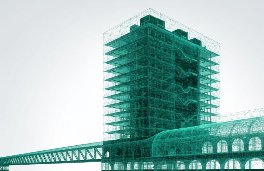
A point cloud is only raw material. The value comes from turning billions of points into clean surfaces, volumes, and models that a design team can actually decide from.