
Survey, GIS & Geospatial Intelligence
Since 2008, AFAQ has delivered topographic survey,
drone mapping and enterprise GIS across the Kingdom —
from remote desert terrain to dense urban corridors like
KAFD and NEOM.
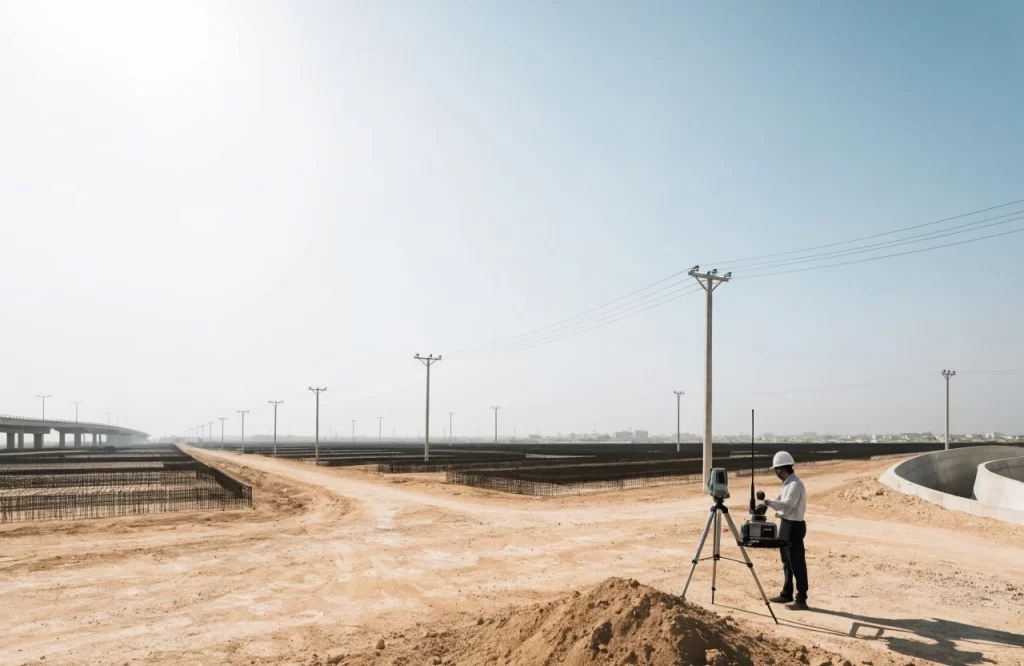
What we do
Service Overview
What it is
End-to-end geospatial services — from field acquisition to design-ready terrain models and enterprise GIS platforms.
Why it matters
Every project starts with a verifiable coordinate base. Accurate spatial data prevents costly rework downstream.
Problems it solves
GNSS-denied urban sites, fragmented land records, undocumented underground utilities and unreliable legacy data.
Why AFAQ
Sub-centimeter geodetic control, MOMRA-compliant deliverables and GIS platforms built to ESRI standards.
Capabilities
Key Capabilities
UAV Surveying
Aerial survey with RTK/PPK GPS.
LiDAR Survey
High-density point-cloud capture.
Topographic Survey
DTM, DSM and orthomosaics.
Land Survey
Cadastral and boundary survey.
GIS Solutions
Enterprise geospatial platforms.
Ground Penetrating Radar
Underground utility mapping.
Geodetic Control Networks
Sub-centimeter accuracy.
Digital Twin Modeling
Reality-captured asset models.
Technology
Technologies & Standards
Positioning
Capture
Software & Standards
Sectors
Industries We Serve
Government
Municipalities
Utilities
Smart Cities
Mega Projects
Transportation
Our Process
Consultation
We scope objectives, constraints and success criteria with your team.
Site Assessment
On-site evaluation of
existing conditions and
technical requirements.
Planning
A phased plan with
milestones, standards
and quality gates.
Engineering
Design and analysis
verified against Saudi
and global codes.
Execution
Self-performed delivery
— no fragmented
subcontractors.
Quality
Assurance
Testing, verification and
compliance sign-off at
every stage.
Delivery
Commissioning,
documentation and
handover — ready to
operate.
Why AFAQ
Why Choose AFAQ
One partner across every engineering layer — self-performed,
end-to-end, and Vision 2030 aligned.
±2mm
GNSS Accuracy
50K+
Km Mapped
300+
Survey Projects
17+
Years of Excellence
500+
Projects Delivered
50+
Government Clients
Vision 2030 Aligned
Integrated Engineering
One Partner, Every Layer
Saudi Standards Compliant
Proof of work
Explore related work
Real engagements delivered across the Kingdom.
Energy & Utilities
Kingdom of Saudi Arabia
King Abdullah Financial District, Riyadh
Case study
Featured Case Study

Survey & Topographic
KAFD
In one of Riyadh’s most challenging urban environments,
AFAQ delivered a high-precision topographic survey across
20+ sites in under three months. With high-rise structures
blocking GNSS signals and a compressed schedule, we
deployed total station and 3D laser scanning as primary
methods, established a local control network, and fused
multi-source data into design-ready terrain models —
delivered on time, with zero delays to the design phase.
- The Challenge
Dense high-rise development blocked GNSS satellite signals across the district, ruling out conventional GPS-only survey methods.
- Our Solution
Dense high-rise development blocked GNSS satellite signals across the district, ruling out conventional GPS-only survey methods.
FAQ
Frequently
Asked Questions
What industries benefit from survey & GIS?
Government, municipalities, utilities, transportation, smart cities and mega-projects
— anywhere a verifiable spatial base is required.
How accurate is your survey data?
We establish sub-centimeter geodetic control and deliver ±2mm GNSS accuracy on controlled networks.
Which standards do you follow?
MOMRA specifications, GEOSA and ESRI GIS standards, with ASCE 38 for subsurface utility mapping.
Can you survey GNSS-denied urban sites?
Yes — we combine total station and 3D laser scanning with local control networks where satellite signal is blocked.
Do you map underground utilities?
We use Ground Penetrating Radar (GPR) to locate and map buried utilities before excavation.
What deliverables do we receive?
DTM/DSM, orthomosaics, point clouds, CAD/Civil 3D files and GIS-ready geodatabases.