01
Executive
Overview
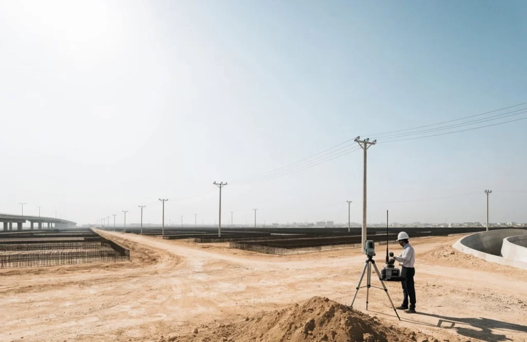
In one of Riyadh’s most challenging urban environments, AFAQ delivered a high-precision topographic survey across 20+ sites in under three months. With high-rise structures blocking GNSS signals and a compressed schedule, we deployed total station and 3D laser scanning as primary methods, established a local control network, and fused multi-source data into design-ready terrain models — delivered on time, with zero delays to the design phase.
02
Project Snapshot
Client / Owning Entity
King Abdullah Financial District (KAFD)
Location
King Abdullah Financial District, Riyadh
Project Type
Survey & Topographic
Engineering Services
Topographic Survey · 3D Laser Scanning · Geodetic Control · GIS
Industry Sector
Mega-Infrastructure
03
The Engineering
Challenge
Dense high-rise development blocked GNSS satellite signals across the district, ruling out conventional GPS-only survey methods.
A compressed schedule required more than 20 sites to be surveyed and delivered without delaying the design phase.
04
The AFAQ Solution
Local Control Network
Established a local geodetic control network to overcome GNSS signal obstruction between the towers.
Survey & Data Collection
Deployed total station (1″) and 3D laser scanning as primary methods across all 20+ sites.
Data Fusion & Modelling
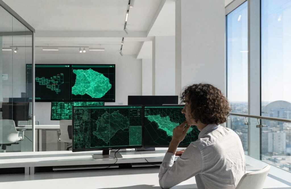
Fused multi-source measurements into design-ready terrain models in AutoCAD Civil 3D and GIS.
On-Time Delivery
Handed over on schedule with zero delays to the client's design phase.
05
Scope of Work
Topographic Survey
Full topographic survey across 20+ urban sites.
3D Laser Scanning
High-density point-cloud capture in GNSS-denied conditions.
Geodetic Control Network
Local control framework as the coordinate base for the district.
Design-Ready Terrain Models
Multi-source data fused into models for the design teams.
Technologies Used
- Key Deliverables
- Design-ready terrain models
- AutoCAD Civil 3D deliverables
- GIS dataset
06
Project Highlights
Precision under GNSS- denial
Fast-track delivery
Zero delays to design
Multi-source data fusion
08
Project Metrics
3 Months
Time-Frame
Sub-cm
Survey Accuracy
02
Project Snapshot