تخطي إلى المحتوى الرئيسي

Afaq

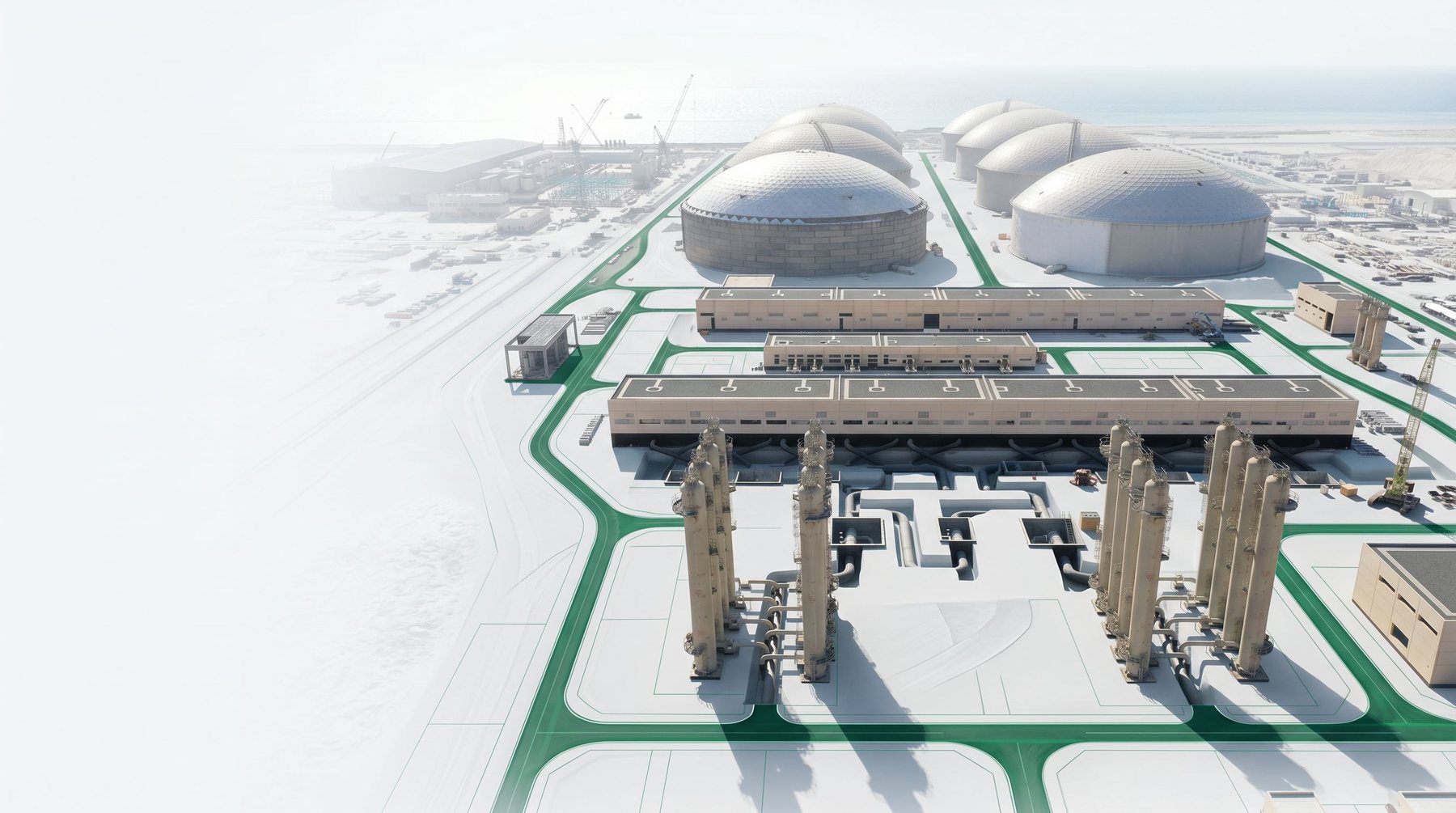
تصور لمحطة تحلية مياه

برنامج ذكاء الأصول لهيئة تحلية المياه

01 Executive Overview AFAQ transformed fragmented land records and disconnected asset data into a centralized GIS-based platform for SWCC. Through field surveys, spatial analysis, document digitization, and ownership verification, the team validated land information, reconstructed missing coordinates, and established a reliable geospatial database that improved accessibility, accuracy, and decision-making across the organization.

Read more...
منظر جوي لمركز الملك عبدالله المالي مع خطوط مسح ليزرية خضراء

الميدان المالي (كافد)

01 Executive Overview In one of Riyadh's most challenging urban environments, AFAQ delivered a high-precision topographic survey across 20+ sites in under three months. With high-rise structures blocking GNSS signals and a compressed schedule, we deployed total station and 3D laser scanning as primary methods, established a local control network, and fused multi-source...

Read more...